
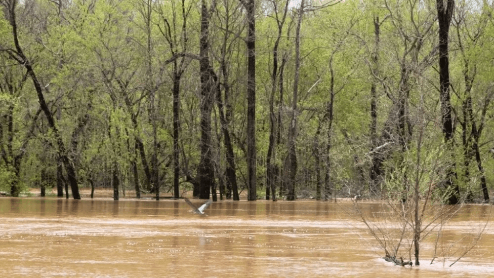
It looks like one more day of significant rainfall is possible across the region, that according to the updated information from the National Weather Service office in Paducah. With several counties in the region having passed 10 inches of rain since the storm system arrived on Wednesday, one more day of rain however is one more day of problems at this point.
Forecasters noted Saturday morning that there was still the possibility for the region to see enough additional rainfall Saturday for some areas to surpass a foot of rain for this event, which would cement its place as an historic flooding event for many areas across Western Kentucky. Weather officials add that these amounts and resultant flooding creates a particularly dangerous situation.
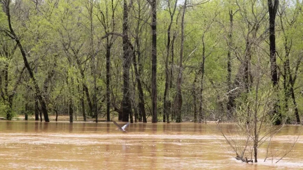
They add that additional heavy rains will only exacerbate ongoing flooding and make it worse and more widespread, resulting in particularly dangerous situations. Another 1-4″ is expected today, with a localized higher swath across Kentucky upwards of another 6″ possible.
Additionally, there is still the possibility of severe weather as the storm finally prepares to leave the area. Forecasters say Saturday’s next best chance for strong and severe storms, along with more heavy rainfall, will be in the afternoon and evening. All modes of severe will be in play, but damaging winds and large hail will be the main hazards, in addition to heavy rain and flooding.