
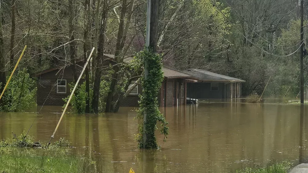
It turns out the National Weather Service will not be far off on the rainfall totals they projected for much of the area as the storm system that has saturated the area began its approach back in the middle of the week. Several counties have now seen double-digit rainfall totals since the rains began back on Wednesday.
When rainfall forecasts first came out for the event, the folks at the National Weather Service indicated that 10-15 inches of rain across portions of Western Kentucky would not be out of the question. That has turned out to be the case.
As of mid-morning Saturday, Christian County had received 11.06 inches since the rains started, with 2.16 of that coming since midnight Saturday morning.
In Trigg County, the event totals had climbed to 10.64 inches, with 1.84 of that early Saturday.
Hopkins County saw 2.62 inches in the early hours of Saturday, bringing the total since Wednesday to 10.22 inches.
For Caldwell County, early Saturday was especially wet, with 3.30 inches having fallen by 10am. That brought the system total to 10.60 inches.
Todd County had not seen nearly as much as the four previously mentioned counties. Through mid-morning Saturday, rain totals were at 6.8 inches, with 1.3 of that falling early Saturday.
All of the totals are from the mesonet stations in their respective counties.