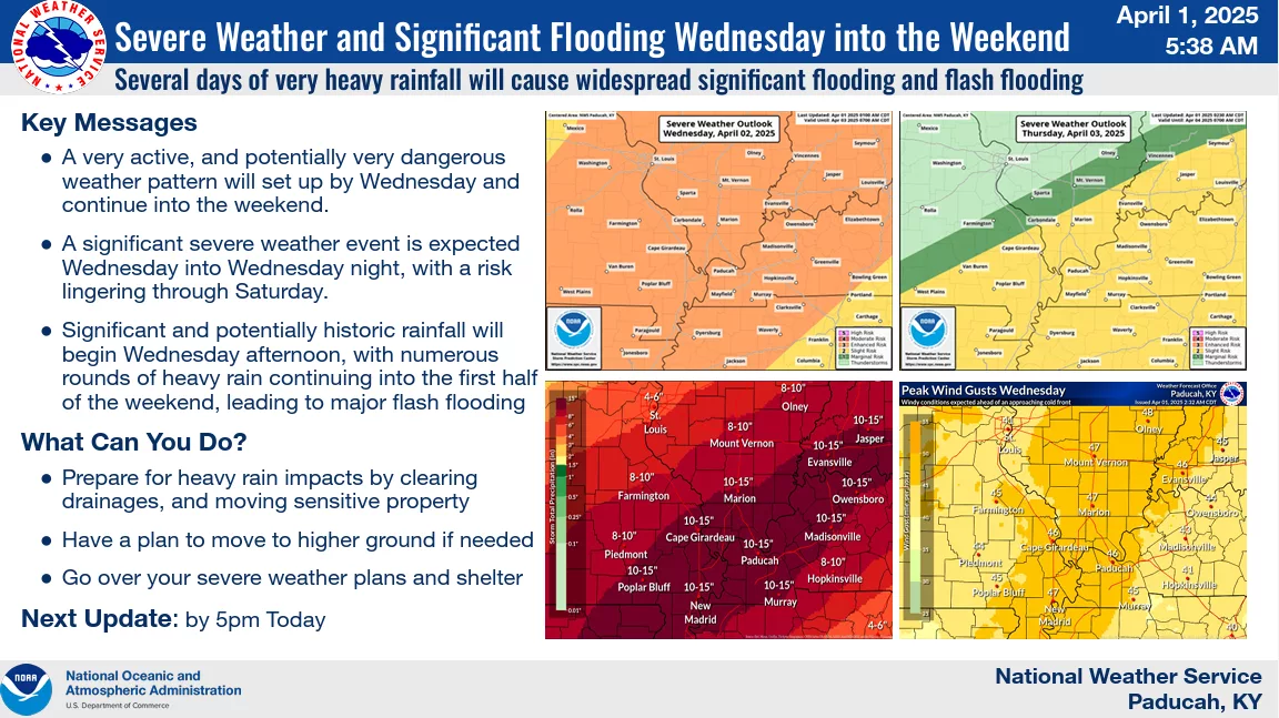
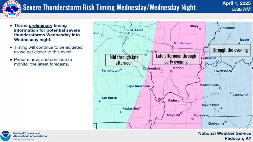
Numerous severe thunderstorms are likely through the weekend, starting with their entry into western Kentucky on Wednesday evening and Wednesday night.
As temperatures warm into the low 80s on Wednesday, moderate to strong instability will develop, providing an environment for explosive supercell development.
Senior forecaster Justin Gibbs says there is a chance of embedded supercells with Wednesday’s storms
click to download audioHe says the latest timing has the storms affecting the lakes area around 6:00 and moving east through midnight.
click to download audioGibbs says the chance of severe weather will continue through Friday.
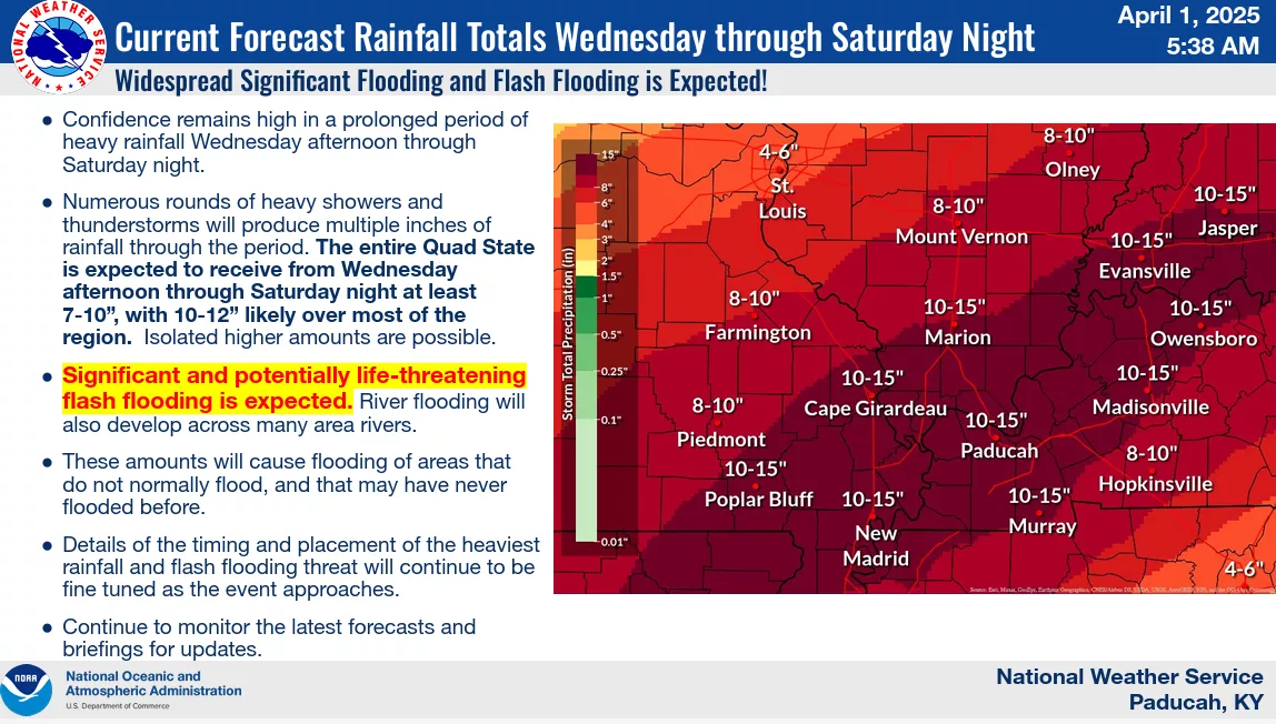
click to download audioTwo inches of rain is expected to fall Wednesday into early Thursday morning, with as much as five inches falling through 6:00 Friday night.
Gibbs says the models this week have consistently shown a low rain total of six inches and as much as 12 inches in some places in western Kentucky.
click to download audioHe says the low end of this week’s rain total will be comparable to February, when over six inches fell in two days.
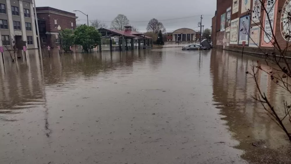
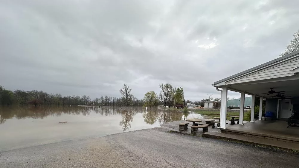
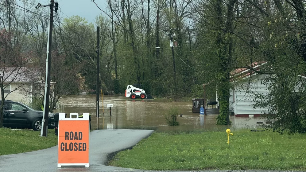
click to download audioGibbs says significant flooding will happen in areas that don’t normally flood or have never flooded before.
There is a flood watch in effect through Sunday. There is also a wind advisory in effect for all day Wednesday and Wednesday night with 50 mph wind gusts as the storm system moves through.
